3.4.6.2. Classification report
Classification report
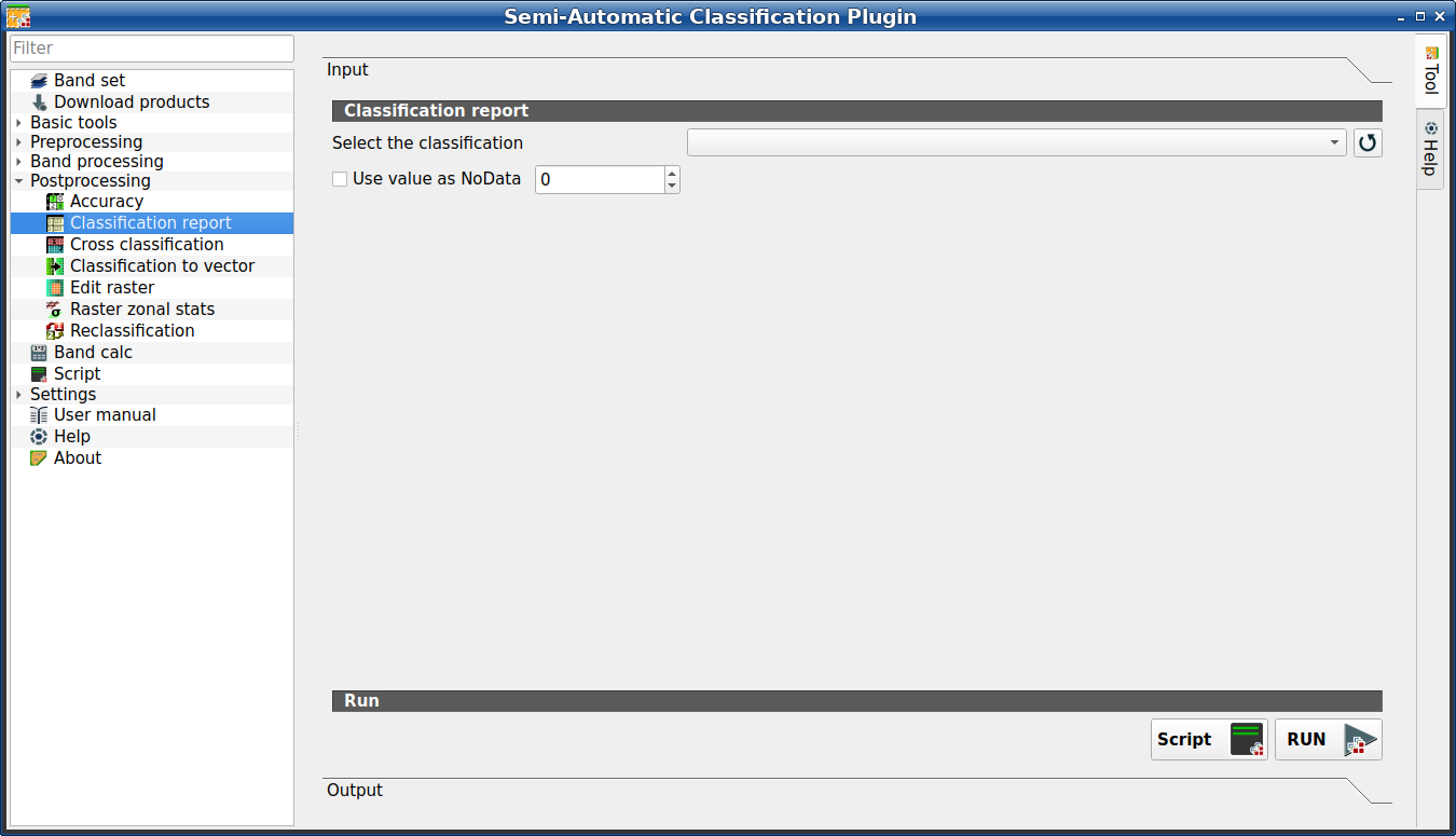
This tab allows for the calculation of class statistics such as number of pixels, percentage and area (area unit is defined from the image itself).
Tüyo
Information about APIs of this tool in Remotior Sensus at this link .
3.4.6.2.1. Classification report
Alet sembolü ve adı |
Açıklama |
|---|---|
Select the classification |
bir sınıflandırma rasterı seçin (QGIS’te zaten yüklü) |
katman listesini yenile |
|
|
işaretliyse, hesaplama sırasında yok sayılan |
Script |
bu işlevi Script (complete interface) dosyasına ekleyin |
RUN |
bu işlevi çalıştırın |


The tab Output will display the report.